


8,7 km | 11,4 km-effort

Utilisateur


Application GPS de randonnée GRATUITE
 SityTrail
IGN / Instituts géographiques
SityTrail World
Le monde est à vous
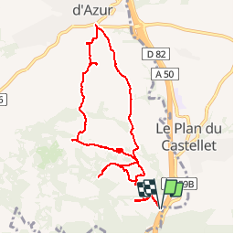
Randonnée Marche de 10,7 km à découvrir à Provence-Alpes-Côte d'Azur, Var, La Cadière-d'Azur. Cette randonnée est proposée par marchev.
randonnée visorando . Départ route 559 b au départ Bandol, après être passé sous l'autoroute prendre à gauche le tunnel qui repasse sous l'autoroute. Se garer sur le parking à gauche à la sortie du tunnel, face aux poubelles puis prendre le GR.


Marche

Marche

Marche

Marche

Marche

Marche

Marche
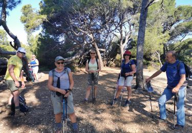
Marche
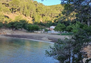
Marche